All Glossary Terms
Short for adjacent areas served by Colorado River water. It refers to locales outside the hydrologic basin of the Colorado River, where its waters are exported via transbasin diversions. Most of the population that relies on Colorado River water lives in large cities in the Adjacent Areas Served, such as Denver, Los Angeles, and San Diego.
The Adjacent Areas Served, as defined in this report, generally correspond with the “adjacent areas that receive Colorado River water” as defined by the U.S. Bureau of Reclamation (2012), with two notable differences. One is the watershed of the Salton Sea, a portion of which is classified as an adjacent area by the Bureau of Reclamation because it receives Colorado River water via the All-American Canal and Colorado River Aqueduct but no longer contributes tributary flow to the river. However, before Hoover Dam was built, the Colorado River would sometimes migrate from its current channel and into the Salton Sink (see, e.g., Ross 2020). Because of that connection, we include it within the hydrologic CRB area, rather than in Adjacent Areas Served. See U.S. Bureau of Reclamation, 2012, p. ES-3.
The second exception is the area in northwestern Mexico encompassing the cities of Tijuana and Ensenada. Colorado River water is exported to Tijuana via the Colorado River-Tijuana aqueduct. For our purposes this counts as an AAS, but since it is a Mexican infrastructure project, it is not included in Bureau of Reclamation service area maps. The city of Ensenada is included in this area because Tijuana sends Colorado River water there via a pipeline that was originally constructed to pump water in the opposite direction. Although in our map this area may appear contiguous with the Southern California AAS that includes San Diego and Los Angeles, it is not part of the same service area on account of the international border.
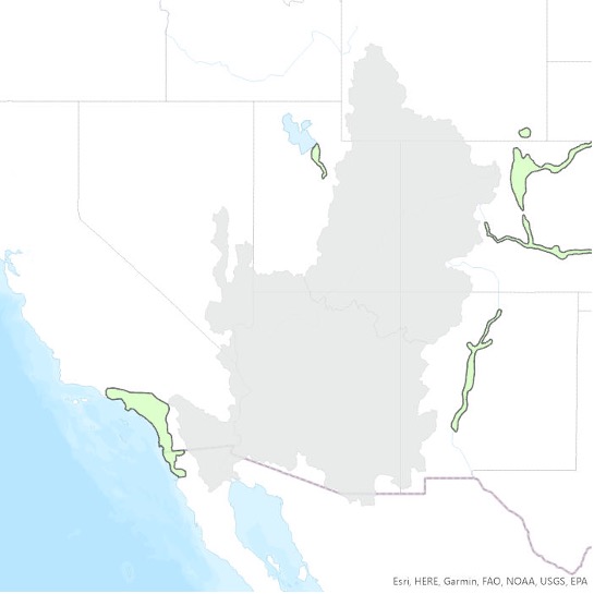
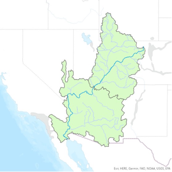
The area drained by the Colorado River and its tributaries; a hydrologic boundary including the combined areas of the Upper Colorado and the Lower Colorado Basins. When we use the term Colorado River Basin in this study, we refer to an area that differs slightly from the HUC-02 Region shapefiles in the USGS National Hydrography Dataset (see entry for Hydrologic Unit Code). We exclude some watersheds whose tributaries do not flow directly into the Colorado River, including the Great Divide Closed Basin (HUC ID: 140402) and several basins along the Arizona-Mexico border that flow directly into the Sea of Cortez (e.g., Río Sonoita and Río Concepción). We also include a few areas that are not in the HUC-02 Region footprints of the Upper or Lower Colorado within the National Hydrography Dataset, most notably the areas around the Salton Sea and Laguna Salada in Mexico. The Colorado River, like all rivers, shifts over time. Before Hoover Dam closed, the Lower Colorado would migrate wildly and often swung westward to feed directly into the Salton Basin, hence we include that area as part of the Colorado River Basin rather than within the Adjacent Areas Served. For more, explore the Babbitt Center’s map of the Colorado River Basin.
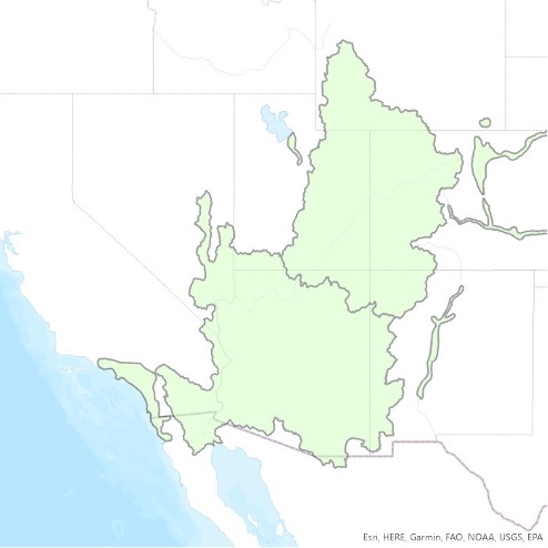
This is the combined area of the hydrologic Colorado River Basin boundary (see CRB definition for exceptions) and the Adjacent Areas Served via transbasin diversions (see AAS definition). The CRBAAS had an estimated population of 43 million people in 2021.
A water utility that supplies water to the same population year-round. It serves at least 25 people at their primary residences or at least 15 residences that are primary residences. Over 286 million Americans get their tap water from a community water system. Sources: Public Water Systems | Drinking Water | Healthy Water | CDC; Factoids: Drinking Water and Ground Water Statistics for 2007, March 2008 (epa.gov).
Also known as a general plan or master plan, this lays out a community’s goals and aspirations for its development, covering a broad range of topics and a years-long time horizon. Such plans are adopted and updated by cities, towns, counties, or other communities to determine priorities and public policies on transportation, land use, recreation, and housing. Sources: Rugland, 2020; Kelly, 2009.
Often shortened to just “Front Range” this refers to an oblong region with a population of more than five million, located along the eastern face of the Southern Rocky Mountains. It encompasses 18 counties in Colorado and Wyoming and is named after the mountain range that defines the corridor’s western boundary. Source: Front Range urban corridor – Wikipedia.
A summary measure that provides information on the state of, or change in, the system being measured. Sometimes used interchangeably with metric, as in this report. See also Metric. Source: Fiksel et al. (2012).
The measured value(s) used to assess specific indicators. It defines the units and how the indicator is being measured. Sometimes used interchangeably with indicator. Source: Fiksel et al., 2012.
The NLCD includes spatial reference and descriptive data for the land surface, such as thematic class (for example, urban, agriculture, and forest), percent impervious surface, and percent tree canopy cover. The database provides cyclical updates of United States land cover and associated changes. Systematically aligned over time, the database makes it possible to understand both current and historical land cover and land cover change and enables monitoring and trend assessments. Sources: The National Land Cover Database Factsheet; Land Cover | Multi-Resolution Land Characteristics (MRLC) Consortium.
The average amount of water each person in a particular area uses daily, often expressed in gallons per capita per day, or GPCD. See also GPCD.
A type of planning restriction applied to certain residential zones in the United States and Canada that limits development by allowing only single-family detached homes. It prevents townhomes, duplexes, and multifamily housing (apartments) from being built on any plot of land that has this zoning designation. It is a form of exclusionary zoning, created to keep minorities out of white neighborhoods. It both increases the cost of housing units and decreases the supply. Source: Single-family zoning – Wikipedia.